Map
To access a visual representation of stations and their availability across the region go to the Map available in the Stations tab.
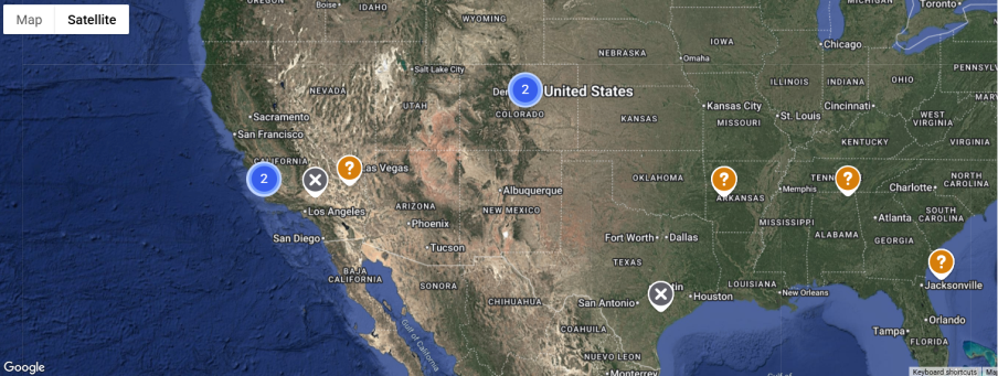
The pins marked on the map represent stations and their respective status. The station clusters are categorized by the following parameters:
![]()
Tap the clusters on the map to view all the stations available in that particular area. Click on individual stations to check access and availability.
Figure 1: Map View

Select the Satellite to understand the topography of the region.
Figure 2: Satellite View