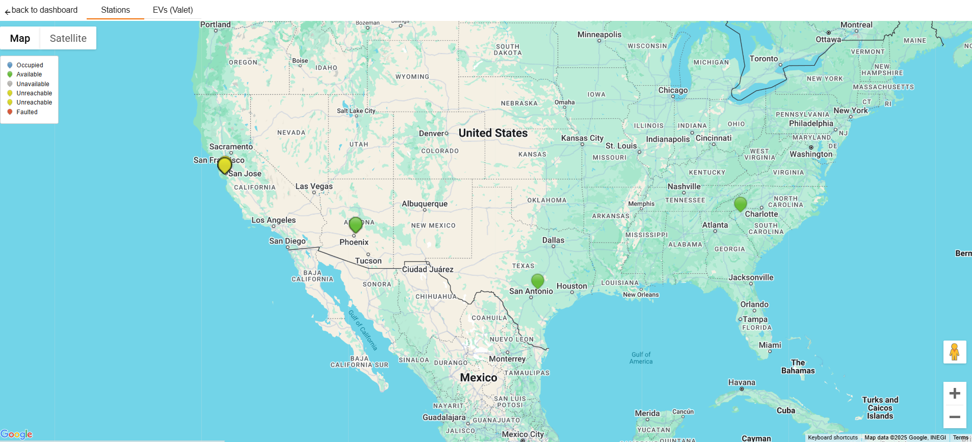
Map
The Stations data chart provides a map view for the stations available across the NA region. Click on Map to access the Map view as well as the Satellite view to take stock of the stations available.
The pins marked on the map represent stations and their respective status. The stations are categorized by the following parameters:
|
Field Name |
Description |
|---|---|
|
Occupied |
Stations that are occupied. |
|
Available |
Stations that are available. |
|
Unavailable |
Stations that are unavailable. |
|
Unreachable |
Stations that are unreachable. |
|
Faulted |
Stations that have faults reported. |
You can click on the categories to customize the pins on the map view.
Figure 1: Map View
Select the Terrain check-box to understand the topography of the region.
Figure 2: Satellite View
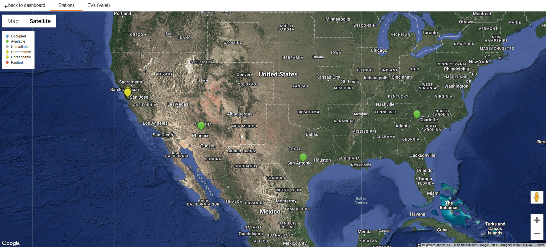
Select the Labels check-box to access the grid view with region names and markers.
